Village Galleries
People, places, crofting and houses.
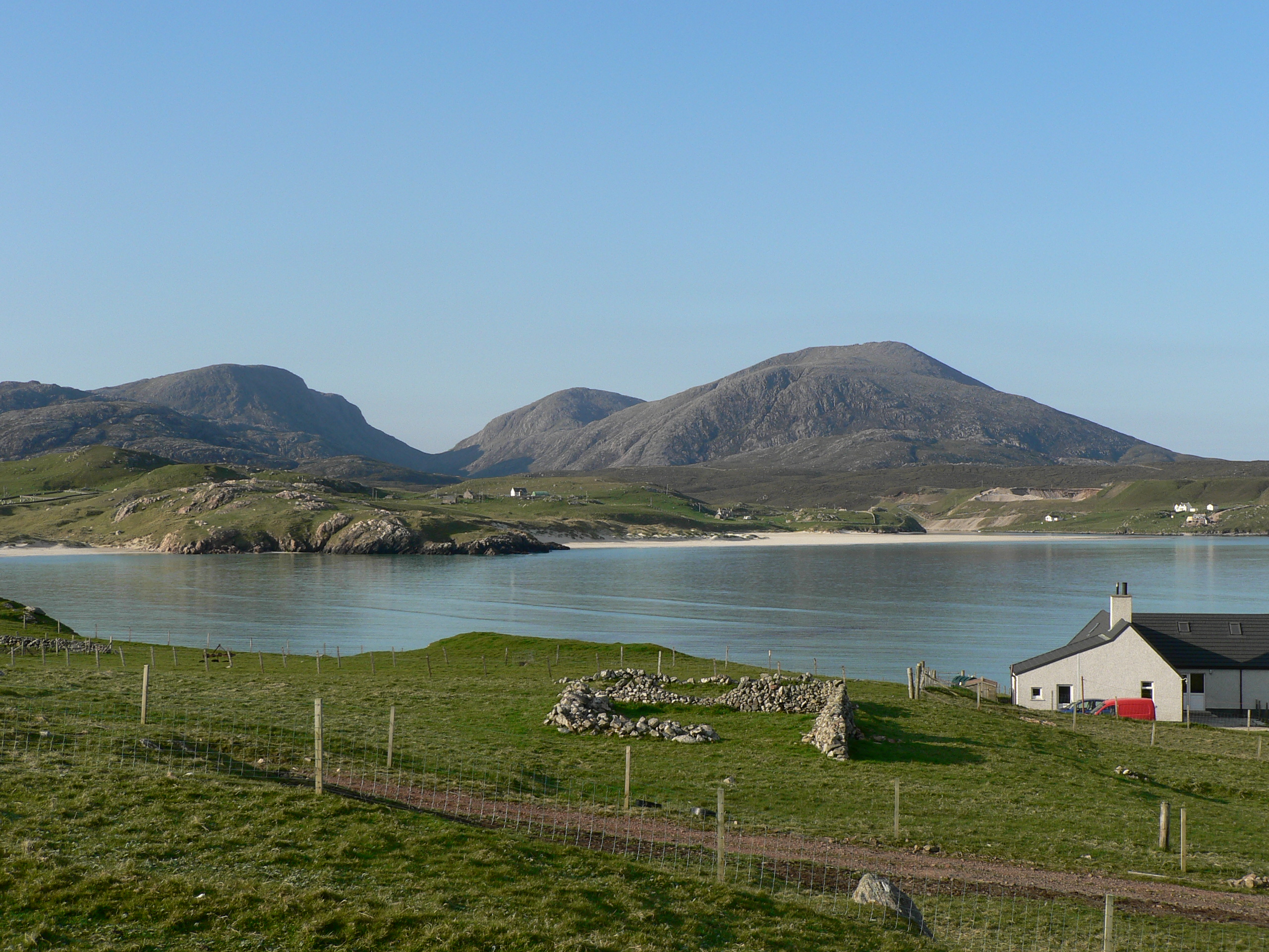
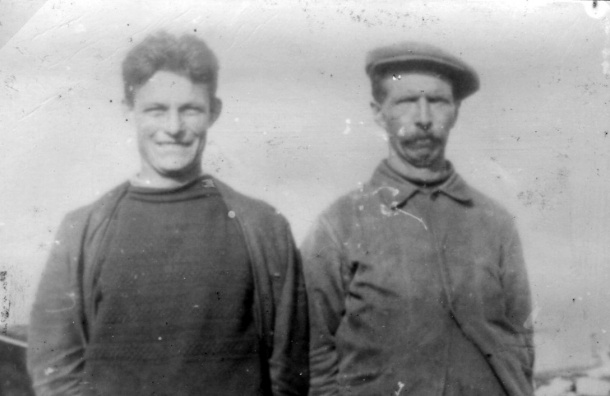
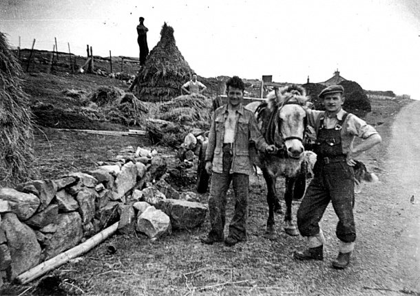
The archive comprises images that have been collected by the Comunn Eachdraidh since it was founded in the1980s and provides an outstanding record of Uig people and village life throughout the 20th Century
If you have any names or dates for photos that do not have titles on the site please contact us. Contact the museum if you have images of Uig or Uig people that you want included in the Photographic archives held in the museum or on this site.
Giosla/Gisla Gallery
Gisla, on the shores of Loch Roag, was a small township of 5 tenants until about 1850. It was then given to Angus Maclean, a stonemason from Melbost who had lived at Scaliscro, in payment for his work on the construction of Morsgail Lodge
Einacleit/Enaclete Gallery
Enaclete is a village on the western shores of Little Loch Roag, comprising nine crofts. An abundance of small stone piers and landing stages on the shore indicate the importance of fishing and boat transport to and from the village.
Ungisiadar/Ungeshader Gallery
Ungeshader is a small village of just four crofts (each with one or two houses, now uninhabited) on the east side of Little Loch Roag, very near the narrows.
Lochcroistean Gallery
Geisiadar/Geshader Gallery
Geshader – Geshader was occupied relatively late, by people coming in from other parts of the district in the mid-19th century.
Cairisiadar/Carishader Gallery
Cairisiadar was lotted in 1849 into 12 regular crofts laid out in a line straddling the main road through Uig, between the hill and the shore of Loch Roag, looking over to Reef and Vuia.
Miabhaig/Maivaig Gallery
The name Maivig. is from the norse mjo vagr for ‘narrow bay’, which accurately describes it. It is located at the head of Valtos Glen and at the short causeway to the Valtos peninsula.
Cliobh/Cliff Gallery
Cliff is a small village on Camas na Clibhe, between high cliffs on both sides, and at the head of Loch Sgaillear.
Bhaltos/Valtos Gallery
Valtos – Valtos (from the Norse vald hus, house of one in power) is a large and well-populated village on the Valtos peninsula.
Cnìp/Kneep Gallery
Kneep – The village of Kneep is situated on the Valtos Peninsula in Uig, between Valtos and Reef. Crofts 1 to 15 are next to Valtos, and much fragmented.
Riof/Reef Gallery
Reef – The township of Reef, situated on machair and rocky headland on the Valtos penisula in West Uig, was cleared of its inhabitants to make way for a sheep farm, under the ownership of Sir James Matheson.
Ùigean/Uigen Gallery
Uigen is a small village on the Valtos Peninsula. It was previously considered an extension of Kneep and the crofts are numbered accordingly, beginning with 16.
Àird Ùig/Aird Uig Gallery
Aird Uig is a small village of 10 crofts (counting 3a and 3b as two) situated at the end of the road to Gallan Head, on the western side of the Amhainn Gil na h-Airde.
Timsgearraidh/Timsgarry Gallery
Timsgarry, a village of 8 crofts in the central part of West Uig, overlooking Uig Sands. It adjoins the old (and now deserted) township of Erista and the church and glebe lands at Baile na Cille.
Cradhlastadh/Crowlista Gallery
Crowlista is located in Uig in the west of Lewis, on the north side of Camas Uig and the Traigh Mhor. It is an old settlement, with rocky ground in contrast to the machair around the other parts of the bay.
Eadar Dha Fhadhail /Ardroil Gallery
Ardroil (Eadar Dha Fhadhail – ‘between two fords’) lies on the southwestern side of Uig Sands.
Càrnais/Carnish Gallery
According to D Maciver, Place Names of Lewis and Harris, the name Carnish is from the Norse kvern-nes, meaning ‘promontory of the querns’ (ie hand mills). The beautiful village of Cànais was cleared of its entire population in 1851 and resettled by Breanish and Islivig landless cottars in 1921
Mangurstadh/ Mangersta
Mangersta – (probably “Magnus’s steading”) was cleared at the same time as Mealista, in 1837-38, to make way for sheep. In 1874 the Mangurstadh families relocated to Doune Carloway and the village became a farm tenanted by Donald Mackay, Dòmhnall Eilidh and his wife, Christina Mackenzie who on a wild and stormy day in October 1889 saved the crew of a Danish Schooner, the Grana. The vessel had been blown in the storm onto sea stacks at the north-western side of Mangurstadh sands and Christina waded out into the sea until she caught the line that was thrown from the ship.
Ìslibhig/Islivig Gallery
Islivig – was described in Uig: A Hebridean Parish, in 1959
Breanais/Breanish Gallery
Breanish – Is a large village near the end of the Uig road – since the clearance of Mealista in 1838, it has been the last inhabited village in the district.
Mealastadh/Mealista Gallery
Mealista/ Mealastadh lies to the south of Breanish. It was cleared of its entire population in 1838, details of the clearance can be found in the Napier Commission report of 1883 and in Comunn Eachdraidh Uig. Mealastadh Island /Eilean Mhealastadh is an uninhabited island ½ mile out from the village coast. ‘The Margaret’, a Breanish fishing boat was lost on the western aspect of the island in 1932, the crew of four which included a father and son, all Breanish villagers, were lost in the tragedy.
If you would like to leave a comment or get in touch with us…
You can visit our facebook page Uig Historical Society where we will be able to contact you. We have a great facebook family who are always happy to help with anything from dates, photographs and any information regarding Uig.


