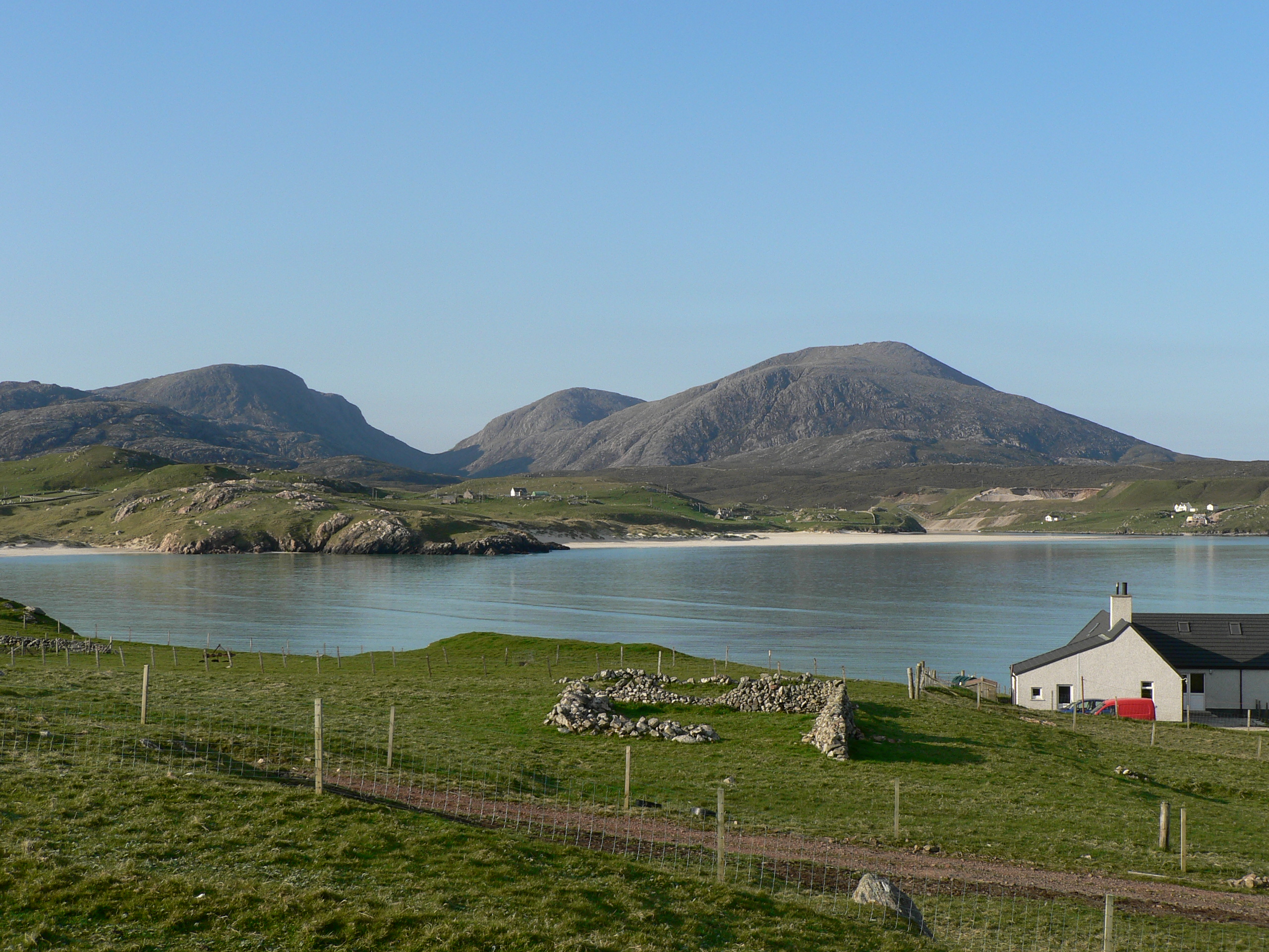
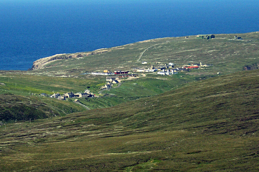
Aird Uig in 1959
A chapter from Uig, a Hebridean Parish (1960) by Madge Phillips.
The little township of Aird is an isolated and old-established crofting settlement along the western side of the steep and narrow valley of the Amhainn Gil na h-Airde three miles north of Crowlista. After leaving Loch Meacheit, the river flows northward through a gorge (at the mouth of which are the ruins of the old corn-mill) then across a narrow flood-plain into the rocky bay of Camus na h-Airde. The crofts, roughly fan-shaped in arrangement and varying in size from 3 3/4 to 7 acres, each originally included a narrow strip of the flood-plain, stretchng across from just beyond the right bank of the river, up the steep, rocky slope above the left bank and widening out over the more gentle slopes between the 100′ and 200′ contours. A number of the crofts were subsequently enlarged, gaining extra land on the right bank of the stream, whilst others received additional ground to the north or south.
The 1700 acres of common pasture stretch to the east and west of the crofts, across the peninsula which terminates in Gallan Head, extending to those of Crowlista and Valtos in the south. The whole coast is broken and rocky, the land inland is peaty, and Aird lacks the advantages of the machair land found further west. To the north of the village there is now an RAF radar station on Rudha Caol, built on what was part of the common pasture. It dominates the landscape and makes a considerable difference to the life of the inhabitants.
The township, though isolated, is reached by a good road which leaves the main road at the western end of Glen Valtos. Grocery vans call on Wednesday and Friday, a butcher’s van on Saturday, and the local people are also allowed to shop at the NAAFI within the Camp. The road through the village approximately follows the line of the 100’ contour and all the houses are built directly on to the road, with byres, weaving sheds and other buildings behind, whilst in most cases hens are kept on the steeper slopes below the road. The majority of the houses are stone with slate roofs and fairly large, though some of them have been built for more than fifty years. All have electric light and their own water supply and several have modern byres.
There are ten crofts, as the enlargement of one of the original nine was subsequently split off to make a separate croft. Of these, one tenant is an absentee and another an elderly woman who does no cultivation. In both these cases, grazing is let to others so that there are actually eight operative units. The crofts are fenced in their upper portions, but in most cases the fencing does not extend down to the river and there is free access to the single concrete footbridge which spans the stream. The only crops now grown are oats and potatoes and a few vegetables, with some sown grass; natural grass provides most of the hay crop. Lime and shell sand and artificial fertilisers are used; the two former particularly on the ground near the river where the cultivation is in narrow strips separated by drainage ditches and ploughing is done by horse.
Most of the cultivated land is on the gentler slopes behind the houses, where the use of a tractor is possible. Before 1914 most of the land within the original turf dyke was cultivated; bere was grown and ground at the mill for meal for barley bread. Seaweed was extensively used as a fertiliser and most of the families kept eight or nine cows, so that there was a more plentiful supply of manure. Now, six of the families each keep one cow for domestic milk supply (two of the others each keep a goat). The township possesses no bull, but make use of those at Valtos or Ardroil. On the other hand, the sheep soum is generally exceeded; instead of the entitlement of about 200, the total flocks grazed on the township pastures are approximately 500. The lambs are weaned early in August and put on Rudha Caol (Air Force use has not prevented this) and wedders are usually sold at the age of two or three years in Stornoway – many in October to reduce the numbers that must be pastured during.the winter.
The total resident population of Aird consists of fifteen males and sixteen females. Of these, twelve are over 65, six are aged 45 – 64, 11 are in the 15 – 44 age-group (there are only three married couples) and there are two children under 15. Nevertheless, most of them are complete families; only one person lives alone; no members are reported as periodically working away, no men and only two women are permanently away. Neither has there been much emigration since 1939 – five women only have married out of the parish. The tenants of seven of the crofts are over the age of 65, the only one in the 15-44 age group is a newcomer to the district and does little croft work.
It is obvious that crofting no longer affords a livelihood in Aird; the only two families without ancillary occupations are those where all the members are elderly. Of the other with members in the working age-groups, five have one or more members employed in a civilian capacity at the RAF station and there are five regular weavers.
Aird used to be a self-contained community; the land was fully cultivated and a certain amount of fishing was carried on in spite fo the difficulty of drawing up the boats over the rocky beach. Now it is prosperous, but very much dependent of the RAF stations, and if this should ever close down, most of the younger people would have to leave in search of other employment.


