1858 - Nochd a’ chiad Mhap de Leòdhas / bho Chlàrachas na Dùthcha – 1st Edition Ordnance Survey Map of Lewis
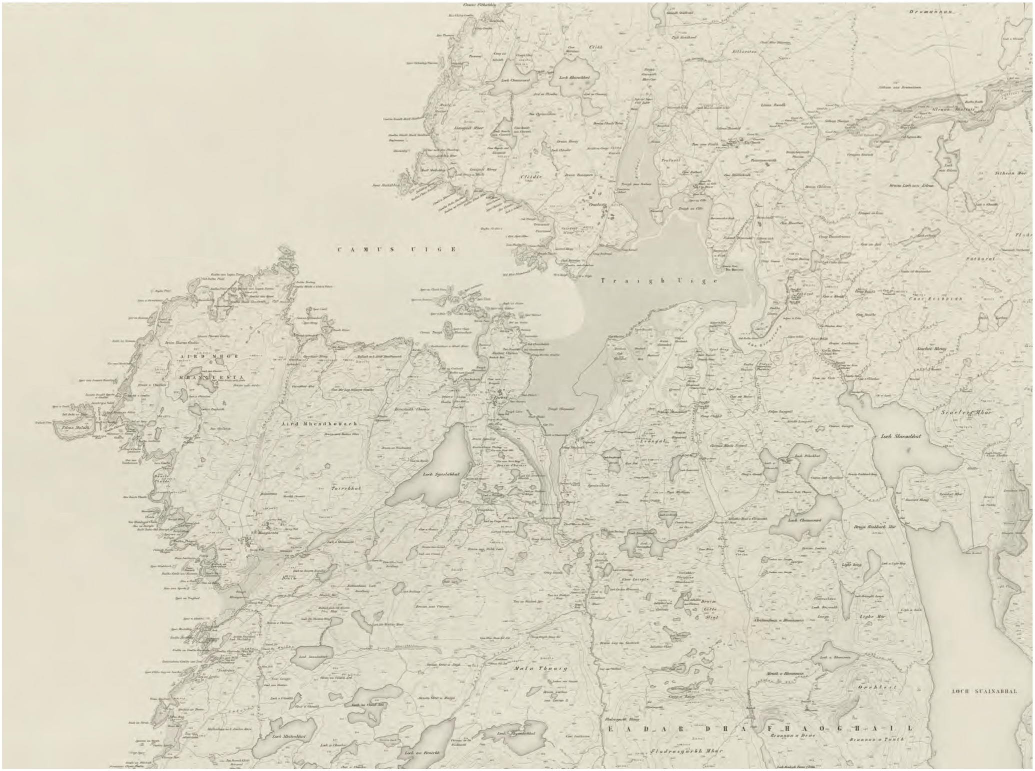 In 1846, James Matheson, proprietor of the Isle of Lewis, paid the Treasury £1200 to have a detailed map of Lewis produced. The Ordnance Survey were planning to work on mainland Scotland first, only mapping the islands later. The surveyors arrived on Lewis in 1848 and left in 1852. Ironically, by the time the map was published in 1858, many villages and settlements in Uig were by then uninhabited, due to the evictions instigated by Matheson himself.
Map © NLS