Geisiadar/Geshader
Geshader was occupied relatively late, by people coming in from other parts of the district in the mid-19th century.
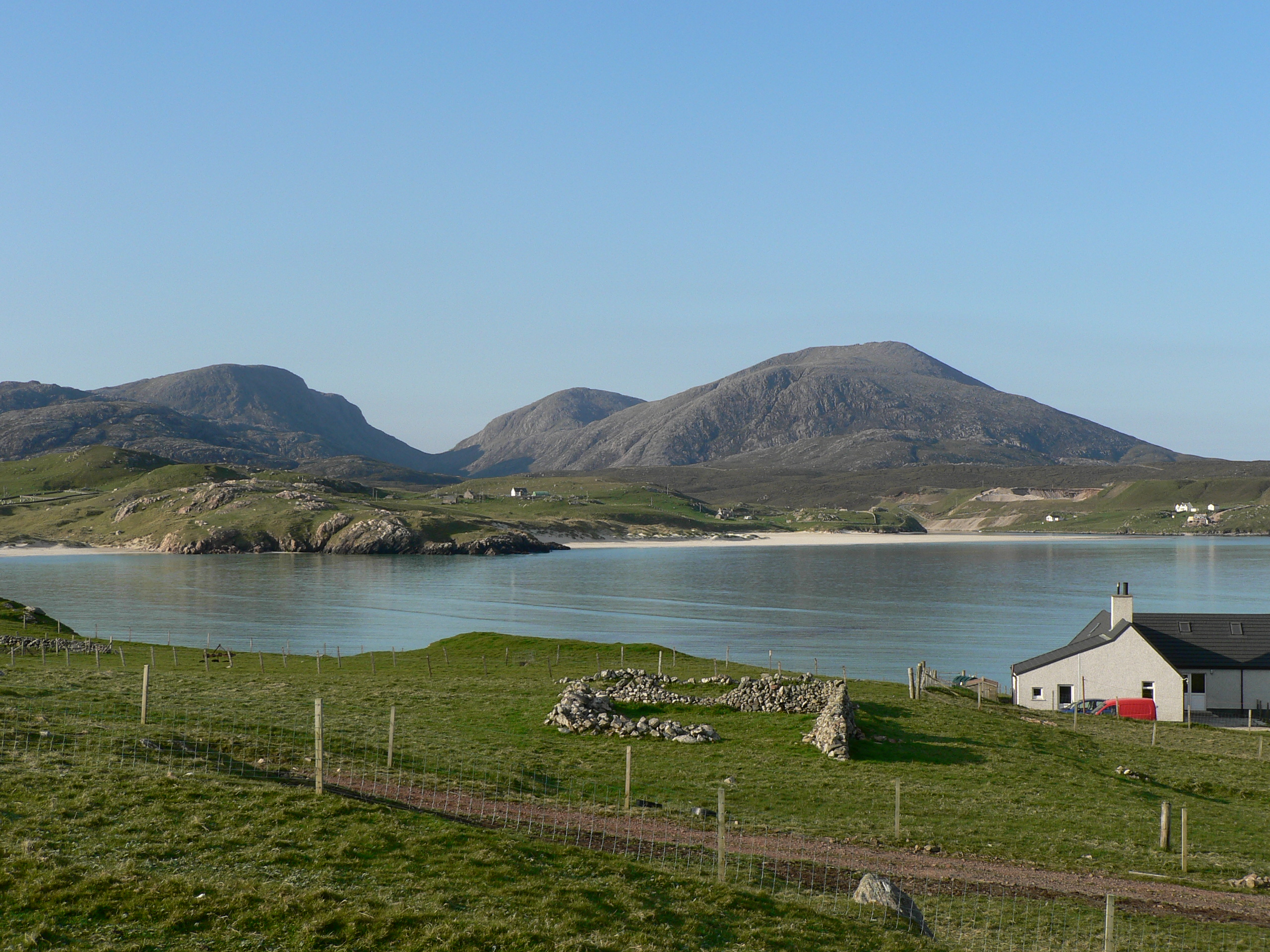
Only Grasivig by the shore, now No. 11, seems to have had a long occupation.
Geshader is a village of 11 crofts located on a peninsula into Loch Roag. The croft numbers progress from the road end up the hill and towards the sea, but the new road (built in the 1950s) follows Loch Geshader to the sea and dog-legs back up the hill. Two “destitution roads” were built as relief work during the famine of the 1850s, and known at Rathad a’ Bhuntata – the Potato Road, as payment for work was in potatoes. According to Finlay Maciver:
“One of the roads built began opposite Taigh Chraig at Taigh ‘an Chaluim, Croft No 6, going out to Leana Habhal where the peatbanks were. The other one on the north side of the village went up the Gill’ Fhraoich to the Gearraidh where the peatbanks for Grasivig were, that’s where No 11, No 10 and Coinneach an Bhuidhe No 7 were.”
“The workers could keep their pride if the worked for their food. I’ve only ever heard the one on the north side of the village called Rathad a Gille Fraoich but it was built in the same way as Rathad a Bhunat’ that goes out the back of Creag a Loch a Ruaidh. It continues out to where the peatbanks begin at Leana Habhal.”
We will be digitaising all of our archives soon…
The archives we have are currently in the Museum. Most of the known genealogy of Geshader has been documented on Hebridean Connections.
If you would to leave a comment or get in touch with us…
You can visit our facebook page Uig Historical Society where we will be able to contact you. We have a great facebook family who are always happy to help with anything from dates, photographs and any information regarding Uig.